Benchmarking - Geodetic survey markers i’ve found & photographed

Benchmarks I have photographed across the northeast – New York, New Jersey & New Hampshire.
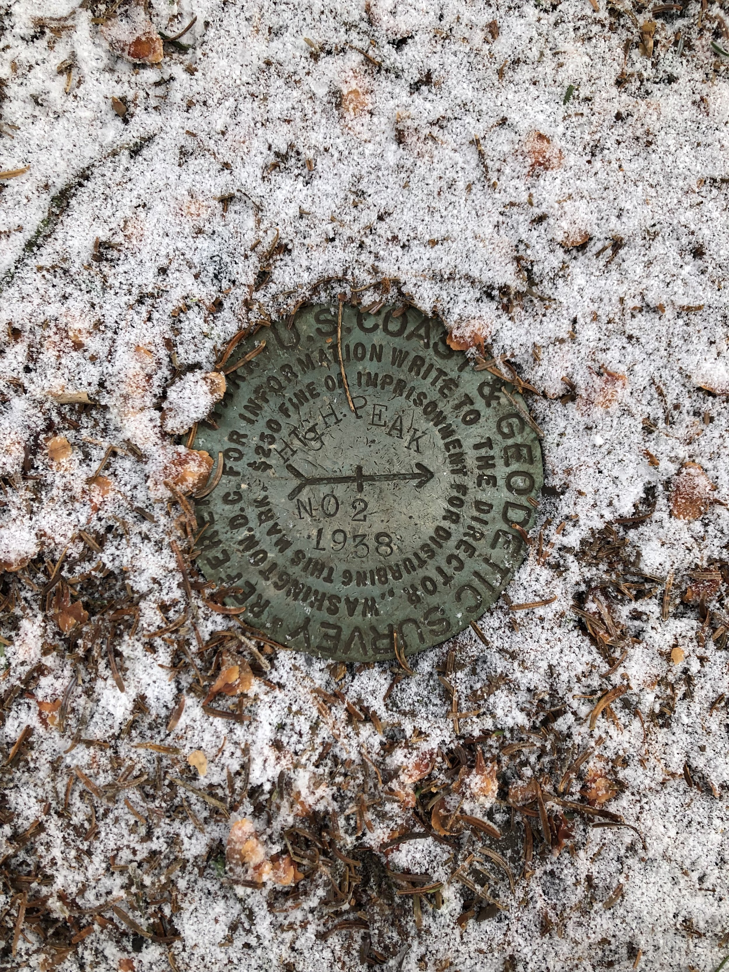
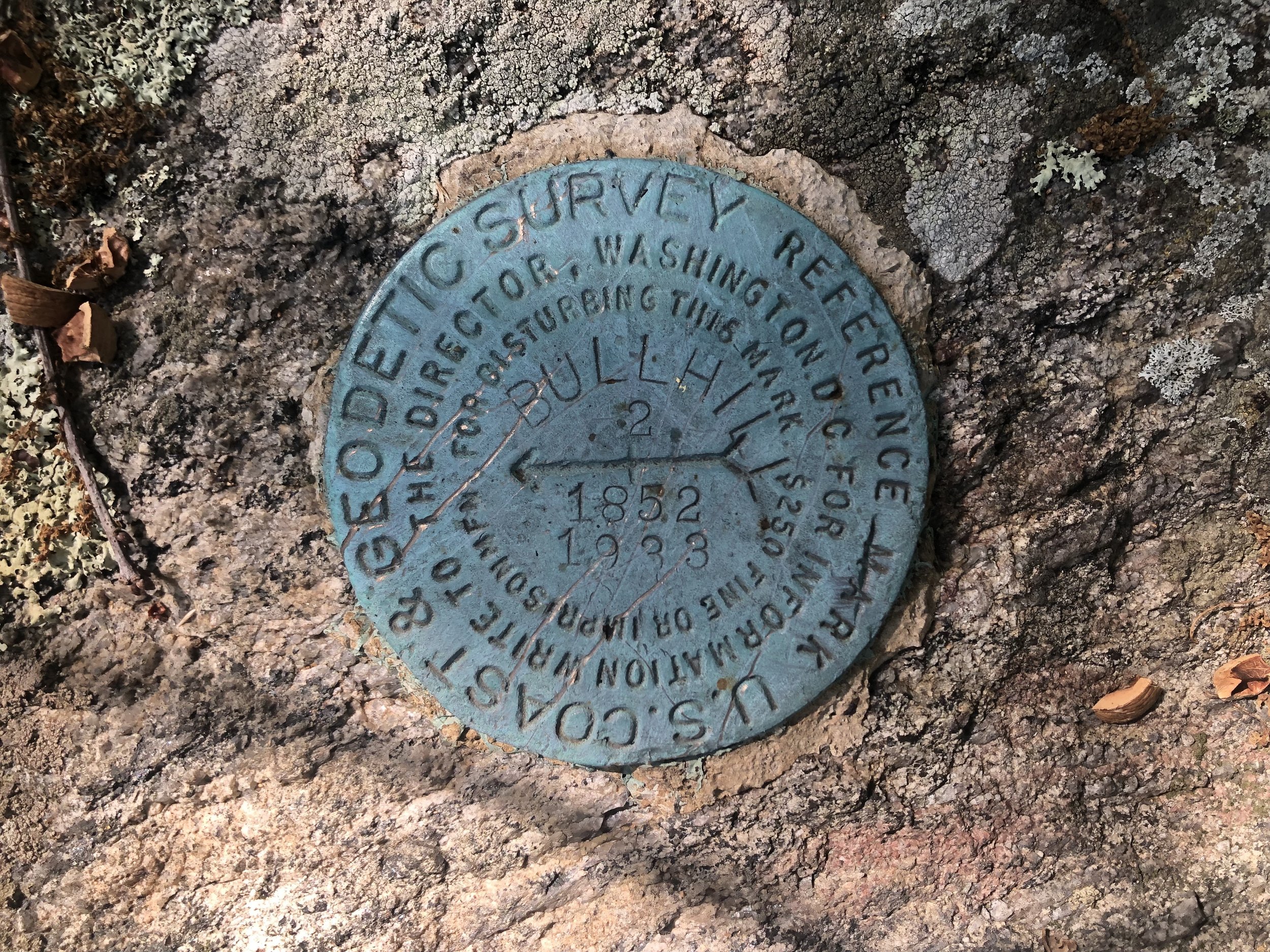
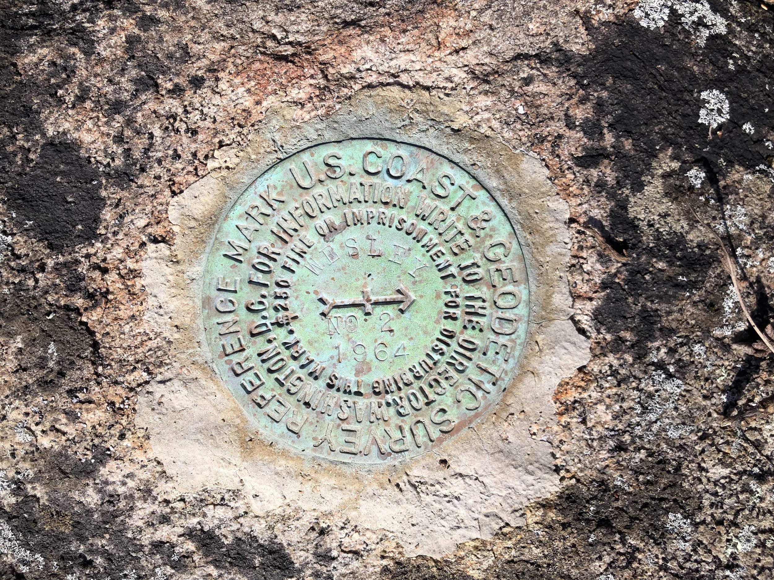
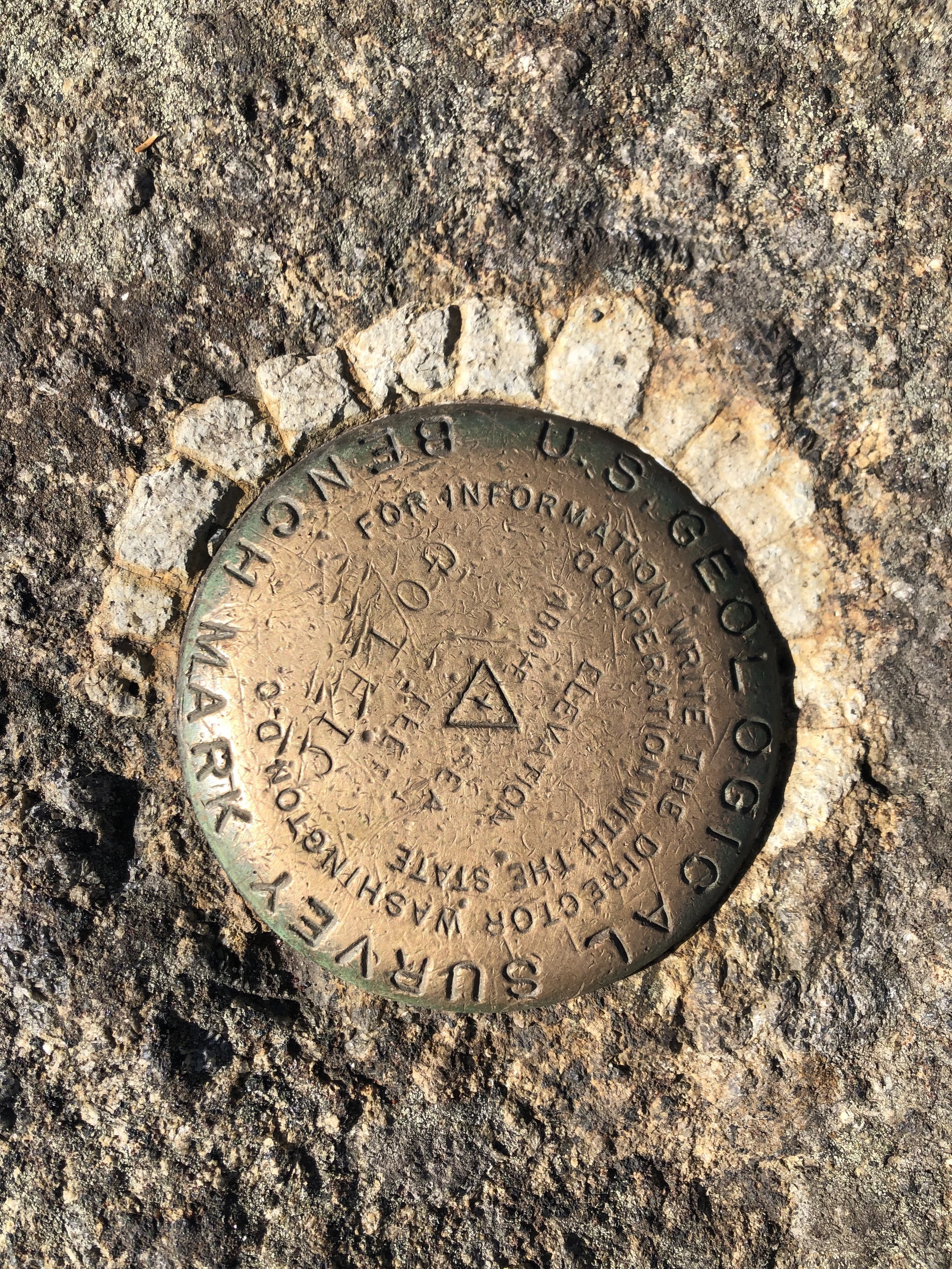
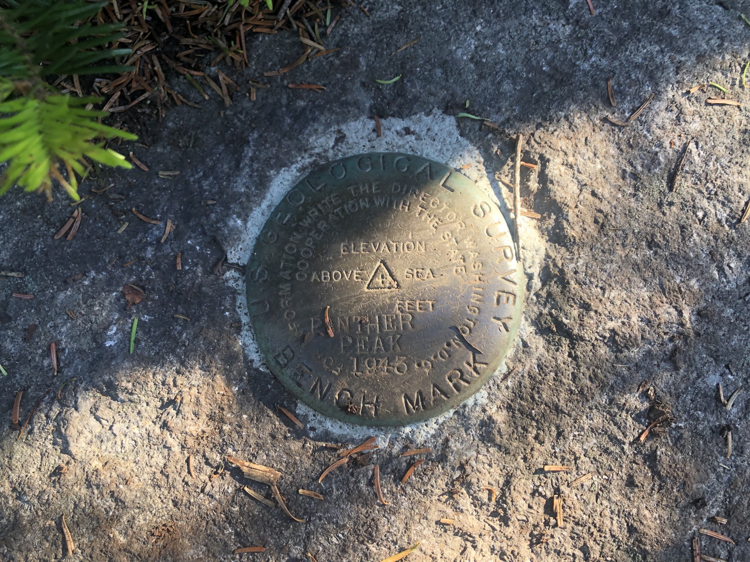
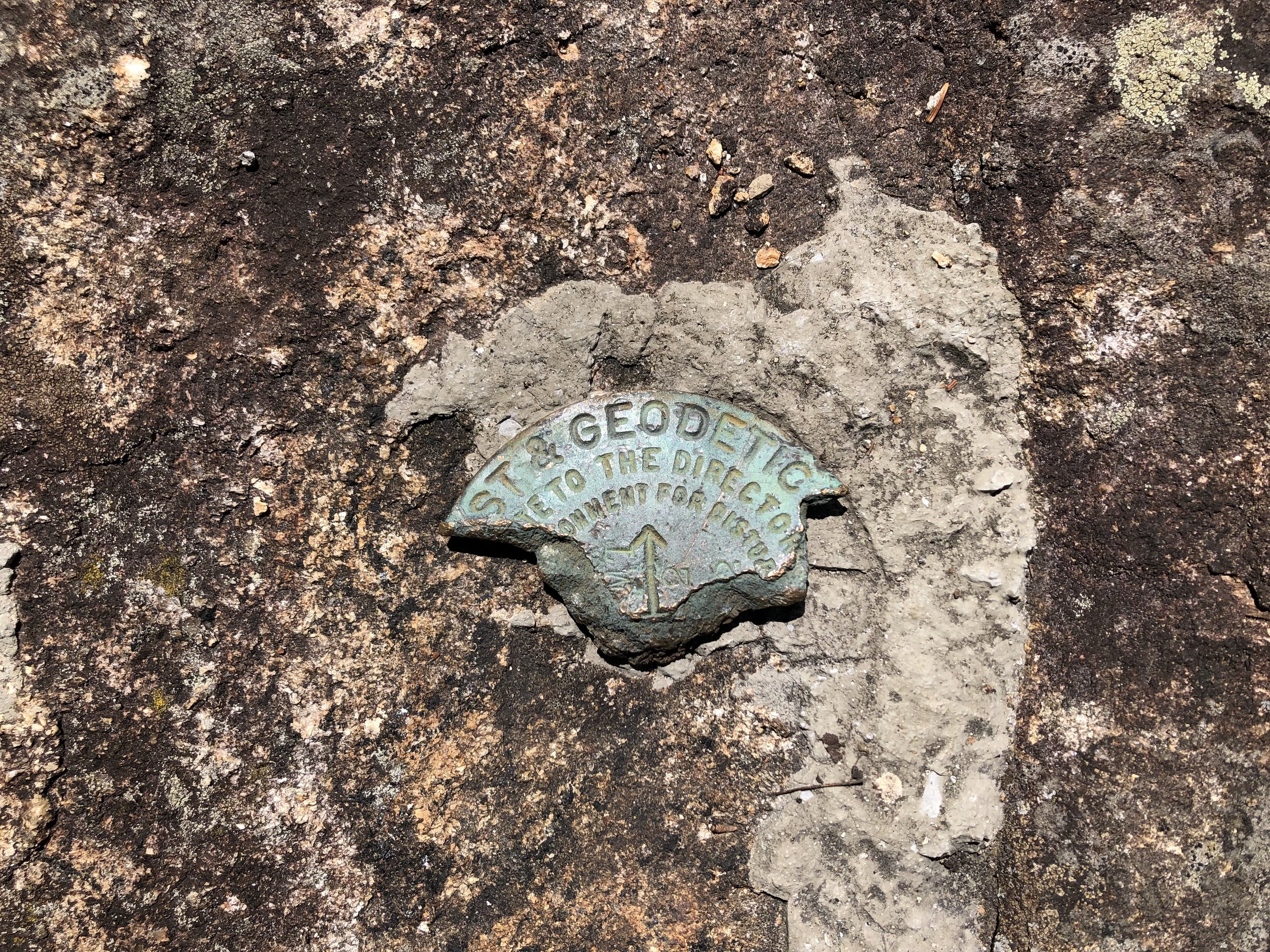
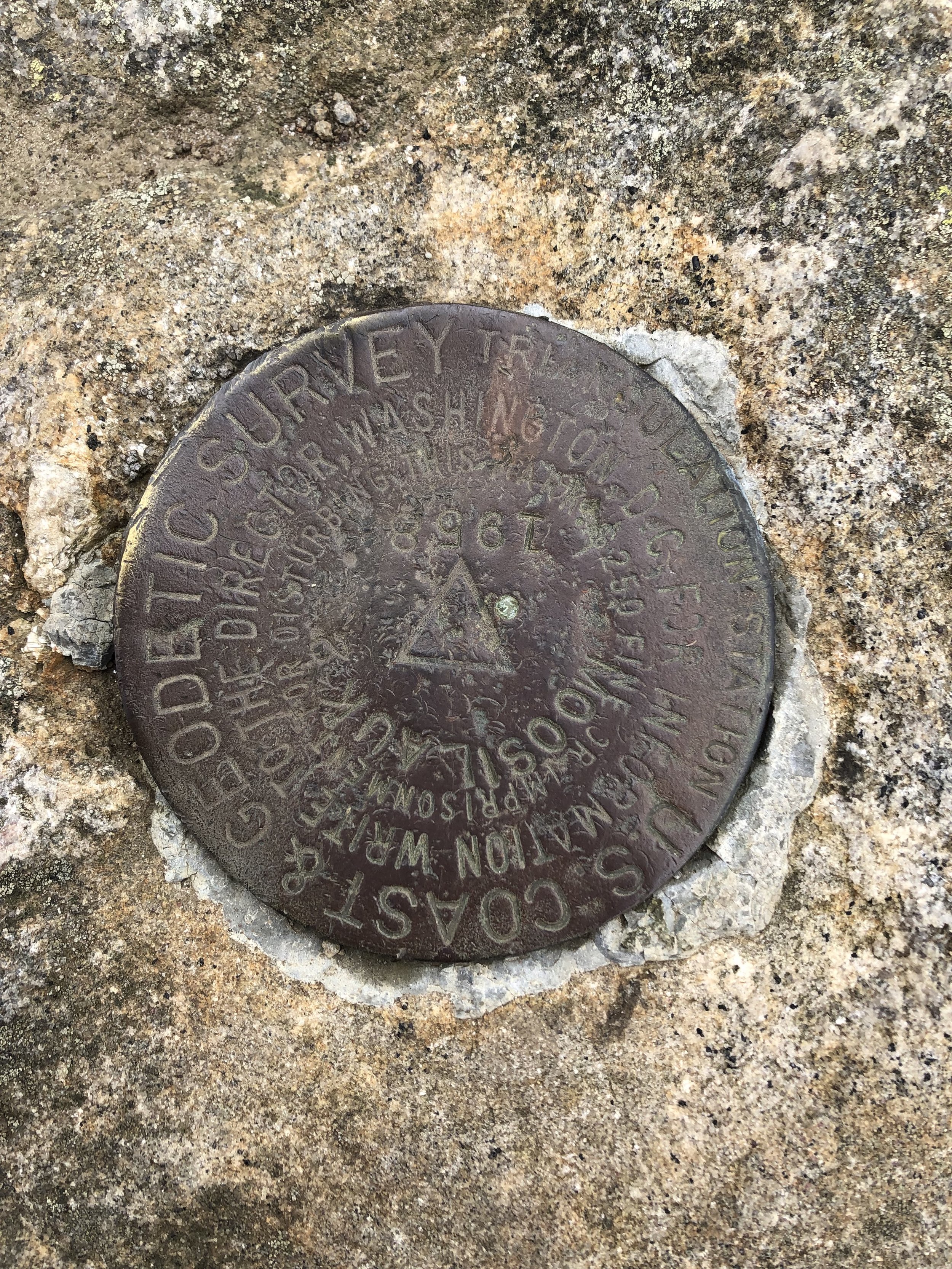
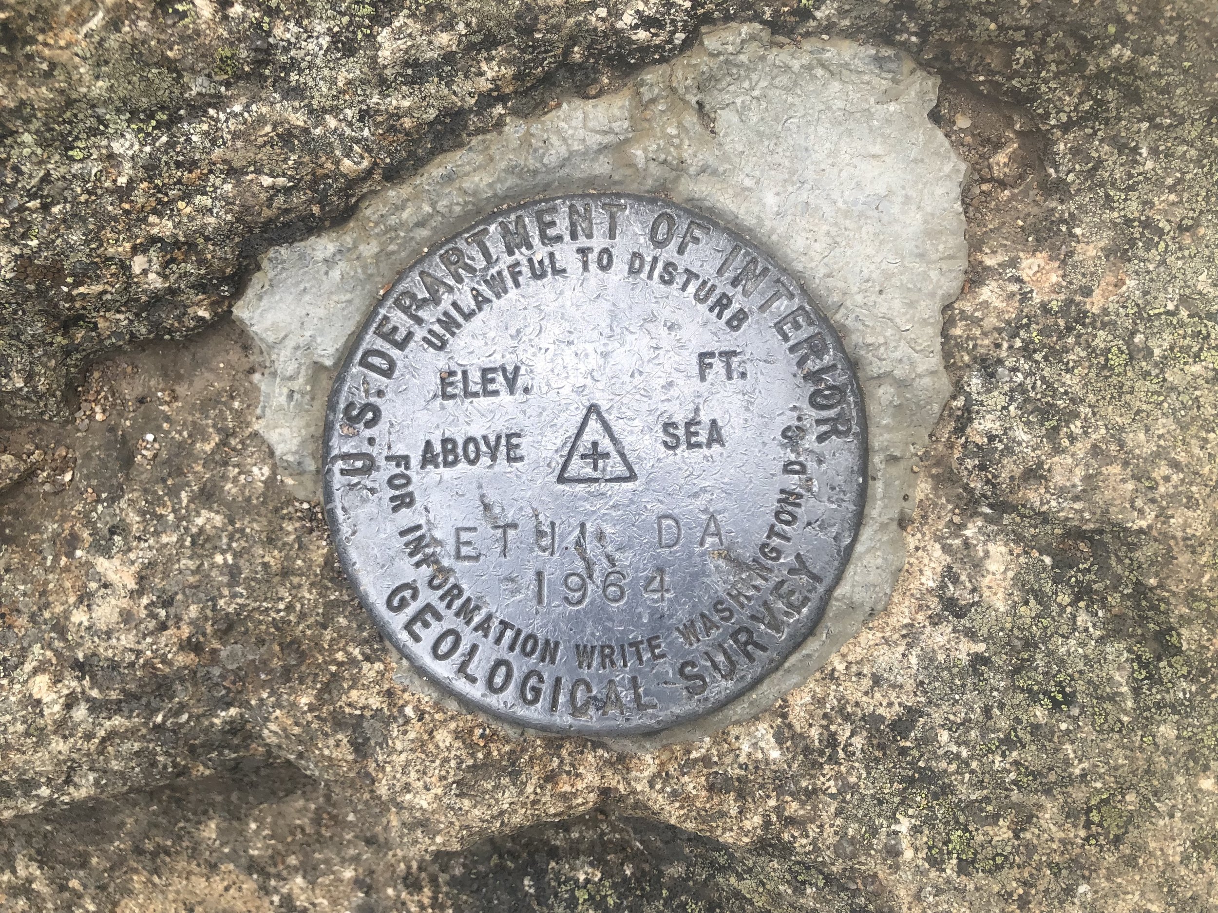
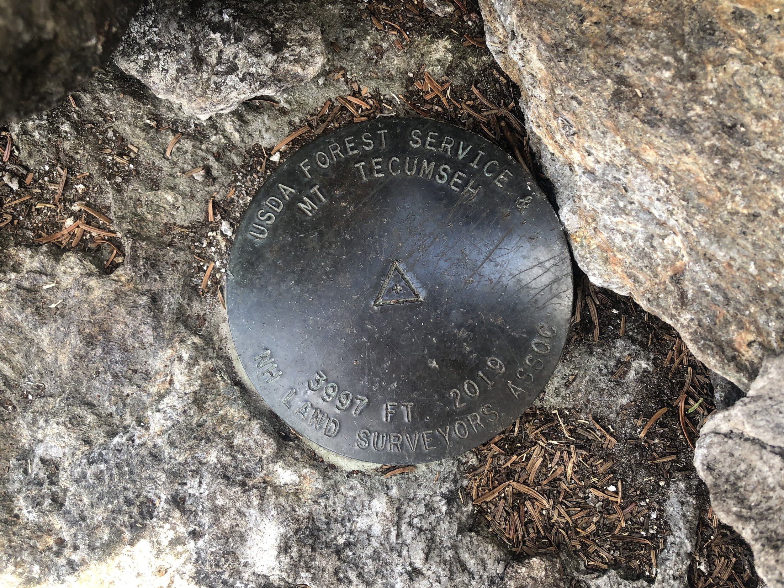
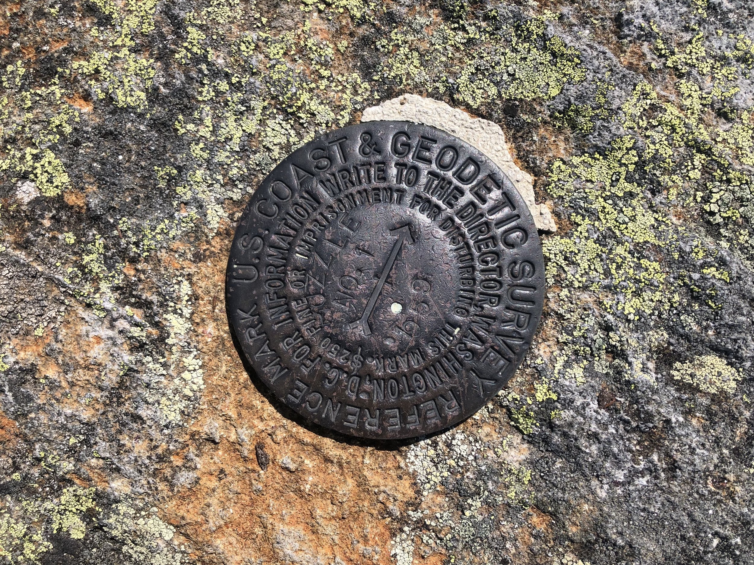
In the U.S., about 740,000 benchmarks with the most precise elevations or coordinates (but only a small fraction of the existing survey marks) are listed in a database maintained by the National Geodetic Survey (NGS) and accessible on-line. The majority of marks set by the U.S. Geological Survey (USGS), the Forest Service, the Corps of Engineers, or cities, and states, and local authorities.
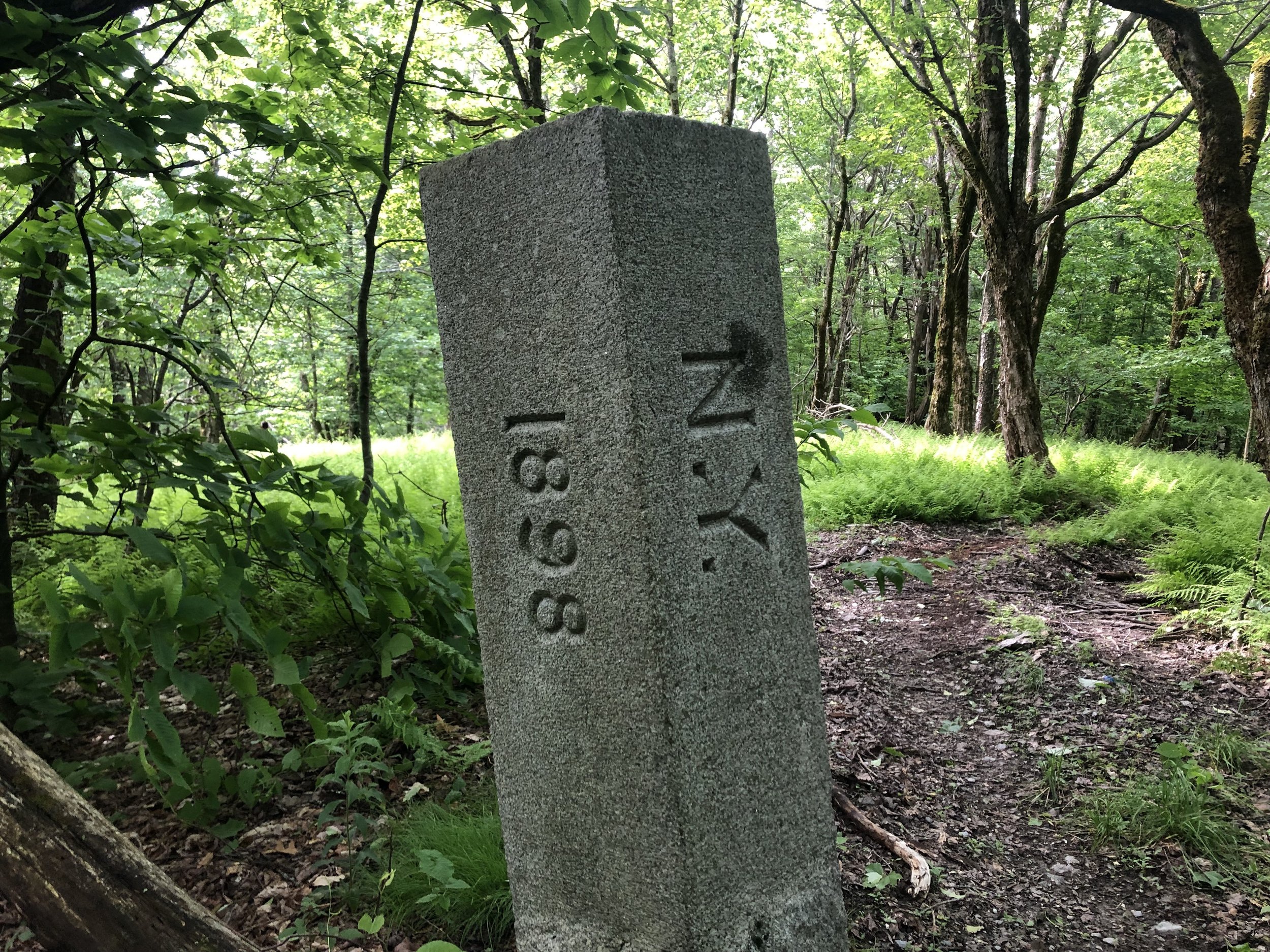
Markers are often found at the summits of mountains, along ridge lines, or on bare rock ledges with commanding views, because such sites provided good vantage points for triangulation lines to distant points.